
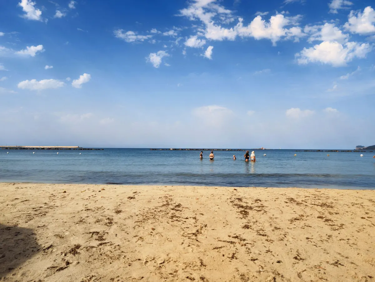
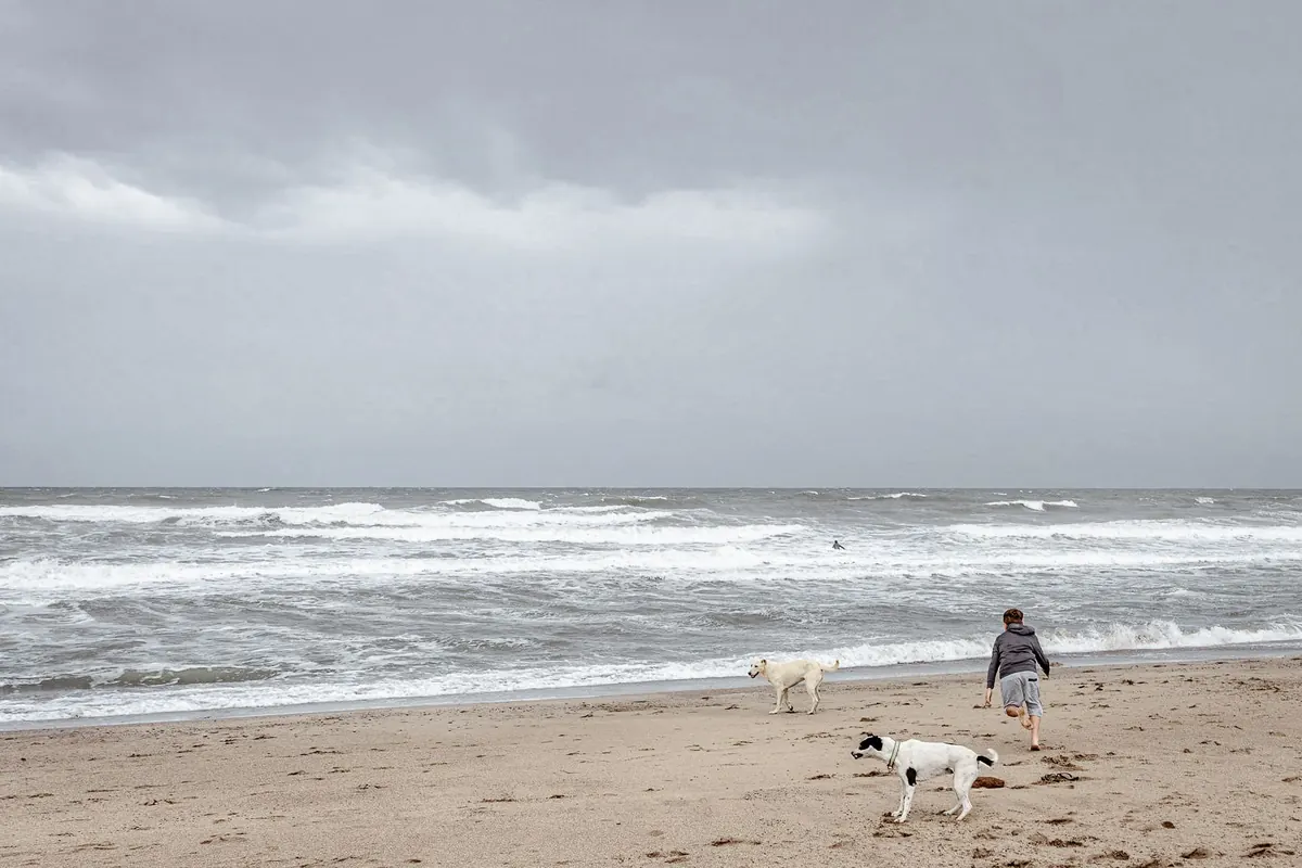
Low tide is the best dog walk in Britain. The sand is firm, the crowds have thinned, and there is a huge open run for a spaniel to lose its mind in. It is also one of the easiest places in the country to get cut off. The water rarely chases you. It arrives behind you, quietly, and the way back you remember from an hour ago is ankle-deep, then knee-deep, then a channel you would not want to cross.
None of this requires a degree in oceanography. It requires a tide table, ten minutes of looking around, and the discipline to turn back while the walk is still going well.
How UK tides actually behave
Most of the British coast gets two high waters and two low waters in roughly 24 hours and 50 minutes. That extra 50 minutes is why the tide is about an hour later each day, and why the beach you walked at nine o'clock last Saturday may be flooding nearer ten this Saturday.
The spring and neap cycle matters just as much. Around new and full moons the range between high and low is at its greatest — spring tides. Around the quarter moons it shrinks, and you get neaps. A neap low might leave a narrow strip of sand below the promenade; a spring low in the same bay can open up hundreds of metres of beach, sandbars and a spit you can walk out to, all of which will be covered later.
The speed of the rise varies enormously with the shape of the beach. Steep shingle climbs quickly but covers little ground. Flat estuaries and gently shelving bays do the opposite: the edge creeps in, then accelerates across the flats. On a shallow beach with a big spring range, the water can advance faster than you can walk.
Reading a tide table properly
The times are given for a specific standard port, so the beach you are heading to may differ by a useful margin. Where a harbour or headland sits between you and the reference port, expect a shift. Local tide tables for a named beach are worth the small effort of finding.
Check whether the times are in GMT or BST. In summer this is the single most common mistake. A table left on GMT will have you an hour out, and an hour is often the entire safety margin.
Then read the heights, not just the times. A low water of 0.4 metres is not the same beach as a low water of 1.6 metres; the first exposes sandbars and the second may barely uncover a strip. Equally, a high water of 7.4 metres and a high water of 5.1 metres look identical in a list of clock times but behave nothing alike at the top of the beach.
Low water is the turning point. On a beach you know well, a window of roughly two hours either side is usually comfortable for a good walk. On a beach you have never set foot on, cut that right down and watch what the water does before you commit.
Judge the beach, not just the clock
Stand with your back to the sea and look inland. Where does the beach shelve up to something dry? Is there a slipway, a set of steps, a break in the dunes, a path along the top of the cliff, a sea wall with a ladder? Those are your exits, and you want at least two of them noted before the dog is off the lead.
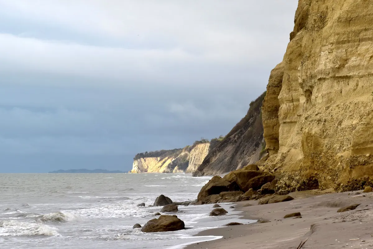
Now look seaward. Sandbars and spits join the shore at low water and are the first things to flood, which means the route you took out is often the route that disappears first. A bay with a headland at each end is a trap in the making: at low water it is a lovely long stretch; two hours later it is a bowl with water on three sides.
Where people get caught out most often
- Long spits and sandbars that connect to the beach at low water, especially where the walk back is across the neck.
- Bays closed off by cliffs or headlands, where the only route out is a steep path you have to find in a hurry.
- Tidal causeways — Holy Island, Burgh Island, St Michael's Mount and dozens of smaller ones. The published crossing times are the outside limit, not a target, and cars are lost on them most years.
- Estuaries and mudflats, where channels fill behind you and soft mud can hold a dog or a boot far better than you would like.
- Rocky gullies and coves — the dog disappears round a corner, you follow, and the way back is now the sea.
- Flat beaches backed by dunes or a promenade, where the water spreads sideways, outflanking you rather than meeting you head on.
Plan the route out before you plan the route in
Walk the escape route first, while it is still dry and unhurried. Pick the highest ground within easy reach and make a note of what it looks like from the sand, because a landmark that reads clearly from the top of the beach can be invisible from water level. If you are walking a long stretch, choose a turnaround time rather than a turnaround point — a time on your phone is honest, whereas "just round the next headland" never is. Set an alarm.
Turn back at the tide, not at the view. The view will still be there next week.
Keep the lead in your hand on any beach where the tide is on the way in, and on any beach with a headland or a spit. A dog that recalls perfectly in the garden may well decide that a gull is more interesting than you, and every minute spent waiting on a recall is a minute of beach going under.
Wind, pressure and the water that arrives early
The tide table assumes average weather, and the coast does not always cooperate. A strong onshore wind and low atmospheric pressure push water against the shore, raising levels and holding the ebb back. High pressure and an offshore breeze can do the reverse, giving you a little more sand than forecast. These effects are usually modest, but on a flat beach they are enough to change the answer. Heavy rain inland also fills estuaries and can colour the water and speed the flow at the mouth.
So treat the table as the plan and the sea as the truth. If the wind is blowing hard onto the beach, add margin. If the water is already sitting higher up the sand than the table suggested, believe your eyes and turn round early.
If the water is already around you
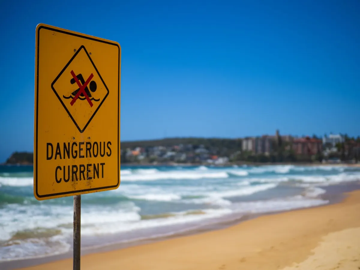
Move to the highest ground you can reach and stay there. Do not attempt to swim or wade around a headland or across a channel — cold water and currents do not care how strong a swimmer you are. Call 999 and ask for the coastguard, give your location as precisely as you can, and describe what you can see around you. Put the dog on the lead, keep it close and keep both of you out of the wind. On a causeway, never drive into water to beat the tide; cars float for a very short time.
The same advice applies in miniature when a dog gets stranded on a rock or a sandbar. Wait for the tide rather than going in after it, and call for help if it is genuinely cut off. Getting a second person into difficulty is the classic way these incidents become serious.
The five-minute check before you clip the lead on
- Find the tide table for the nearest standard port to your beach, and check whether the times are GMT or BST.
- Note the time of low water and the height of the next high, then work out your window.
- Check the wind direction and strength for the hours you will be out.
- Set a turnaround time and put an alarm on your phone.
- At the beach, look inland for two escape routes and seaward for anything that floods first.
- Tell someone where you are going and when you expect to be back.
Do that and low tide stops being a hazard and goes back to being what it is: the widest, firmest, emptiest dog walk on the coast. There is a version of this walk where you are standing on a headland at dusk watching the water slide over the sand you ran across an hour ago, with a wet dog shaking itself on the grass beside you. That is the one worth planning for.
Photo: Juan Moccagatta / Pexels
Related posts
More stories you’ll love reading